Digital Twin Modelling
Plantation Ecosystem Digital Twin Modelling
Differences in treatment of oil palm productivity models
Peatland MRV · Mitscherlich Yield Model · Hooijer 2012 · 161 Field SurveysEvery parameter is a management decision. Every output is a quantified consequence.
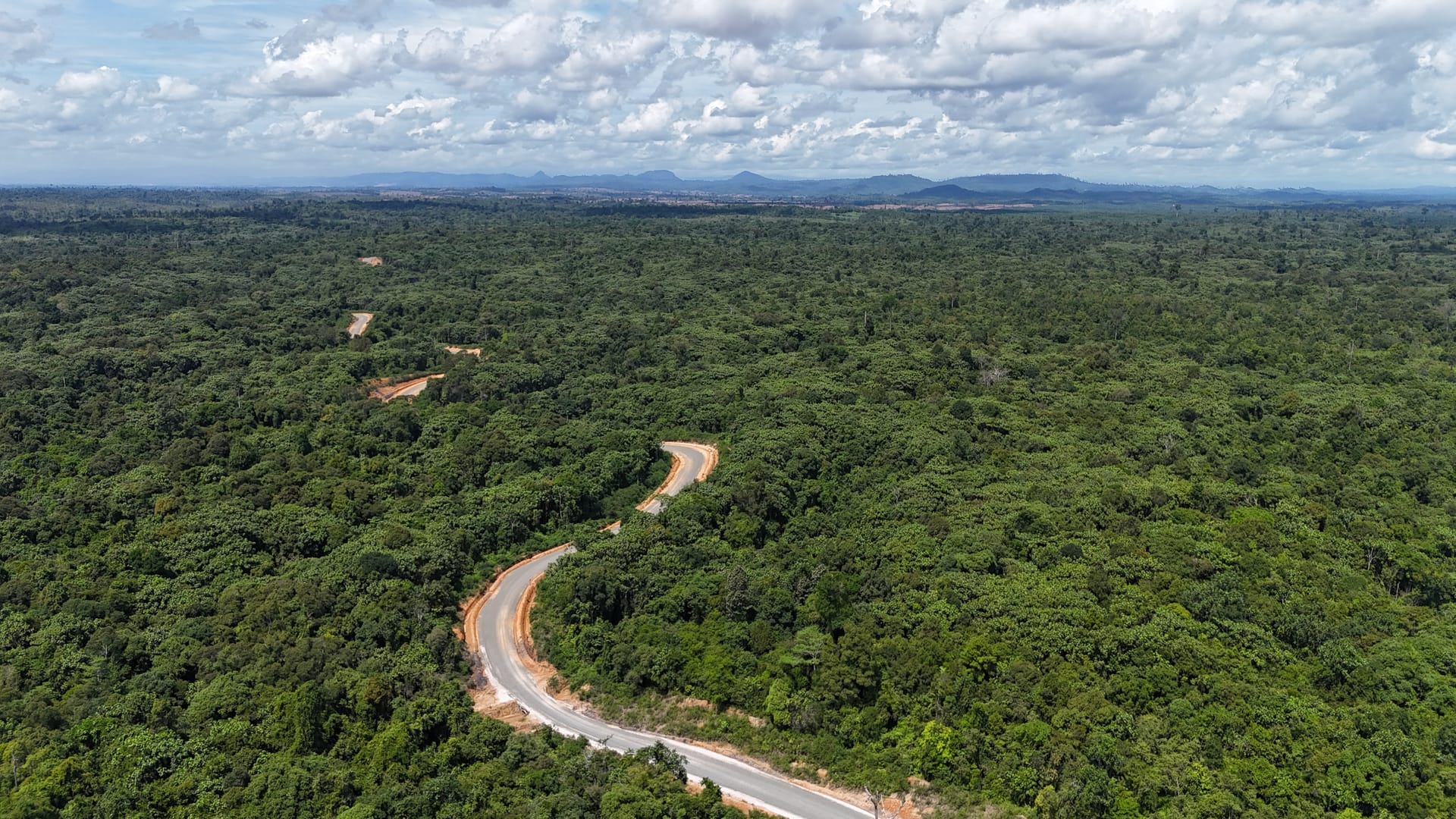
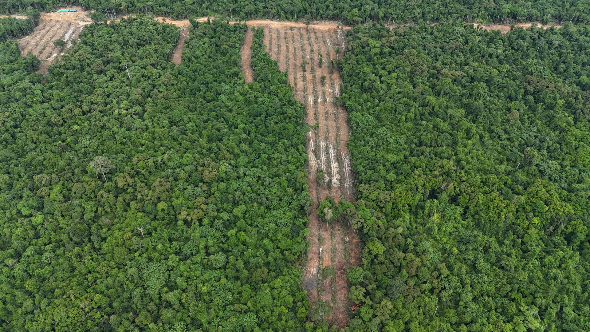
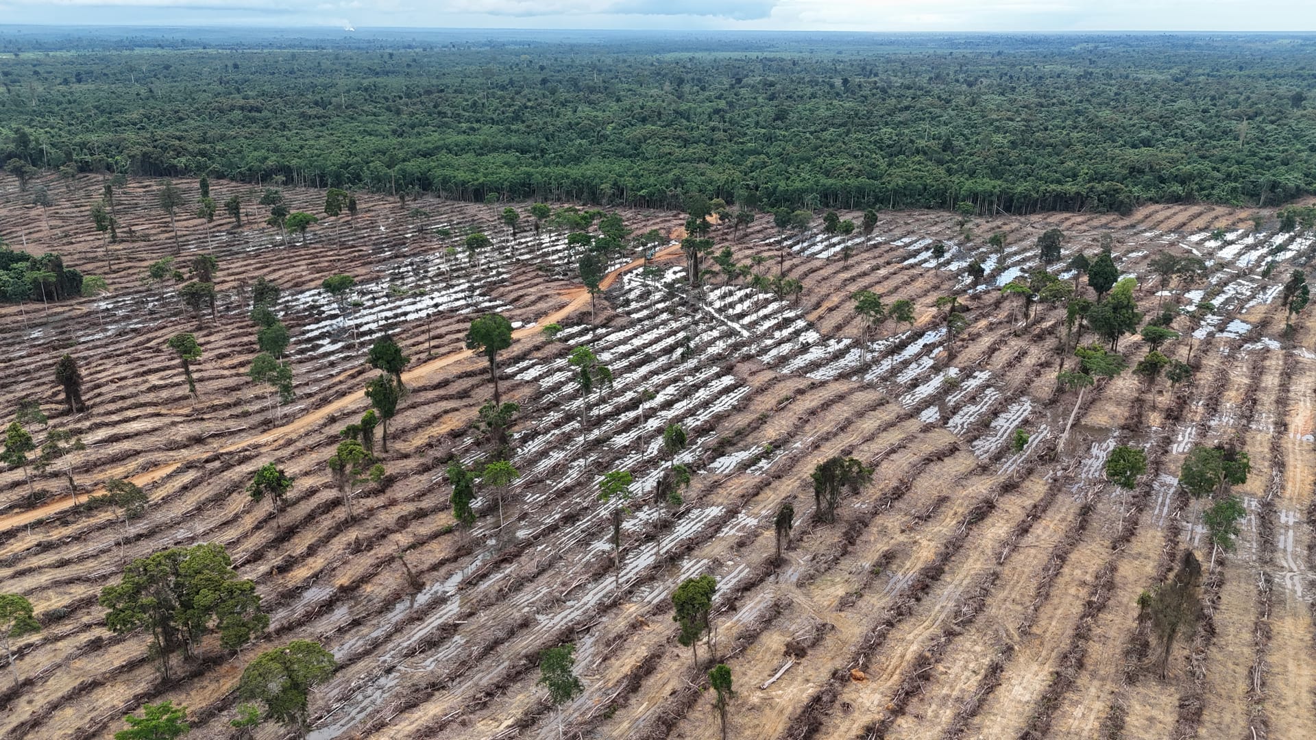
A real-time scenario model for oil-palm plantation management on tropical peatland, calibrated to 161 physical peat surveys from Pesisir Selatan, West Sumatra. Three scientific frameworks are integrated: the Mitscherlich dose-response equation for FFB yield as a function of N, P, K inputs; the Hooijer (2012) linear peat oxidation model relating CO₂ flux to water-table drawdown; empirical subsidence regression from long-term Southeast Asian peatland monitoring. Adjust water-table depth (TMAT), fertiliser dose, EFB mulch coverage, planting density, and peat depth. Each parameter recalculates yield, annual CO₂ flux, cumulative carbon stock depletion, and subsidence risk in real time.
- FFB yield via Mitscherlich dose-response: N, P, K interaction on the Lame variety yield ceiling
- Peat CO₂ emission via Hooijer (2012): 2.7 t CO₂/ha/yr per 10 cm water-table drawdown
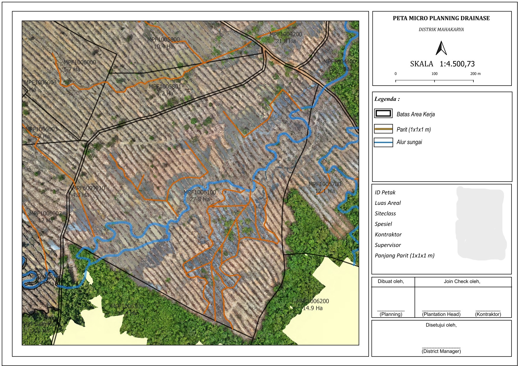
- Carbon stock from 161 field surveys: depth × bulk density × C fraction (Warren et al. 2012)
- Subsidence projection from empirical regression: cumulative 5 to 30-year horizon
- Real-time yield–emission trade-off at any water-table depth and fertiliser combination
Methodology — Model Notes
FFB yield: Mitscherlich dose-response function applied to N, P, K inputs as multiplicative efficiency factors on the genetic yield ceiling (Lame variety, Ymax = 30 t FFB/ha·yr). Peat CO₂ emission: Hooijer (2012) linear model, recalibrated to Indonesia via Novita et al. (2021) meta-analysis: 2.7 t CO₂/ha/yr per 10 cm TMAT drawdown. Peat carbon stock: depth × bulk density × 0.58 C fraction (Warren et al. 2012, R²=0.95, n=712); bulk density from 16 lab-analysed cores; depth from 161 field survey points (PT SAK + PT JSAL, Pesisir Selatan, West Sumatra). Subsidence: empirical regression from Hooijer et al. (2012) long-term monitoring data across Southeast Asian drained peatlands. EFB mulch modelled as additive soil moisture retention offset on TMAT.